History
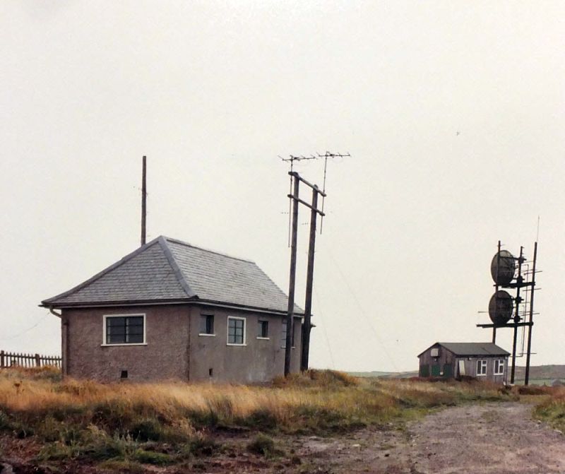
A Post Office radio station for maritime communication, known historically as "Lands End Radio", was established at St Just in 1913. The site of the SHF station, near Leswidden, is approximately 1.5 km to the east. A VHF link between Leswidden and St Marys was established during the 1938 - this was expanded around 1942 and operated on frequencies between 60 and 70 MHz, providing a total of six telephony channels. It is likely this later moved to frequencies around 160 MHz before subsequent transfer to SHF.
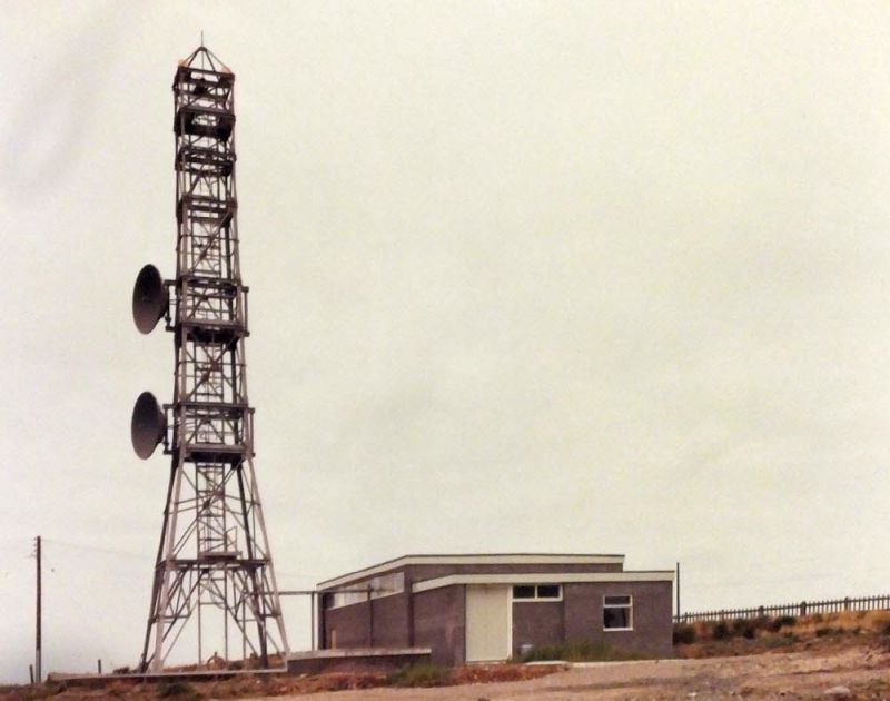
The site was used in 1962 to provide a test signal for the Goonhilly Earth Station. A retrospective article in British Telecommunications Engineering, October 1962, describes the installation: From the height at the centre of the Goonhilly aerial, it was found that a 12.2 m (40 ft) high tower was required at Leswidden for a 1/2 degree elevation angle and three 'stout' poles [were used] to form a structure capable of supporting two 3 m (10 ft) dishes. The "Leswidden Beacon" is also mentioned in a report of preparation in 1965 for the HS303 "Early Bird" satellite (Intelsat-1), providing a signal on 4.13786 GHz. The test facility and former VHF site were in a large compound to the south of the SHF station - some buildings still remain.
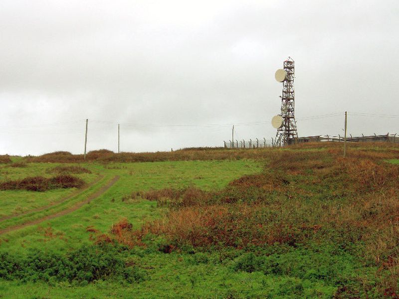
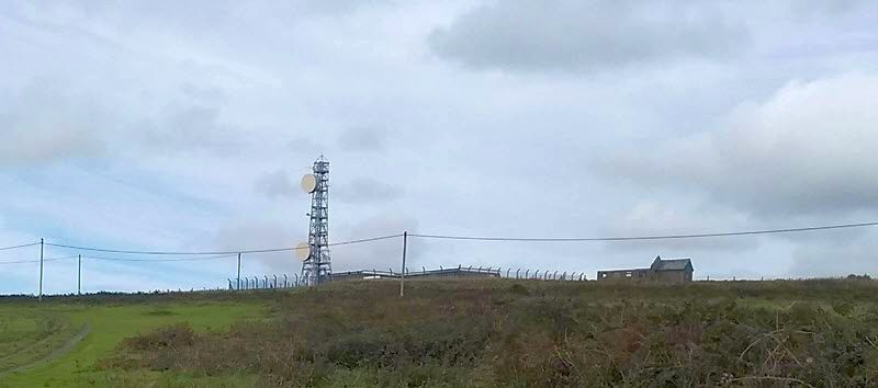
It appears the SHF link to St Marys entered service by 1971 - at that stage as an isolated point-to-point link. The apparent onward route via Carnemenellis to Treskinnick Cross was completed under a contract placed in the autumn of 1976 but further analysis suggests this was for different traffic - in effect St Just became a terminal station for two distinct purposes.
A map of planned digital links by 1988 shows the route to Treskinnick Cross ending at Carnemenellis but with a spur to Goonhilly - this suggests St Just returned to its original role as a local link. There were no dishes facing Carnemenellis by 2005 but Google Earth shows the shadow of a single dish in 2001. Although work was completed in 2014 to divert a section of undersea fibre to provide a link to Scilly the site continues to operate: Ofcom data shows the link now operates at 6 GHz.