History
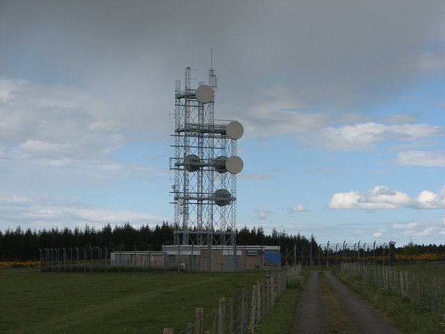
There was a Wireless Station at Daviot by 1949, consisting of four masts and a small building. This is shown on OS maps until the mid-1970s, after which the current SHF site was built within the same compound. The Historic Scotland "Canmore" archive holds a number of photos from 1974 and 1975 (images not available on-line) - these relate to the construction of the current building and tower.
The "Type 5A" tower - a standard type used during the 1970s - is oriented with the wide faces towards Portmahomack and Portclair Forest, although the latter site was a 1980s addition. It is likely the site initially acted as an end-point serving Inverness, as a branch from the "new" telephony link between Aberdeen and Scousburgh established in the mid-1970s.
Despite the proximity it seems unlikely there was any need for connectivity between Daviot and Rosemarkie - the television and telephony routes in this area appear to have been separated at Tor Sliasg via the "old" and "new" routes respectively. Current Ofcom data suggests there is still an operational trunk north/south route plus local links at 18 GHz.