History
Granite Hill, close to central Aberdeen, was established by 1955 to provide a BBC television feed for the Meldrum transmitter (located next to the Core Hill PO site). The BBC used a temporary transmitter at Redmoss from December 1954 to October 1955 - the feed is assumed to have run via Granite Hill and either cable or temporary SHF link.
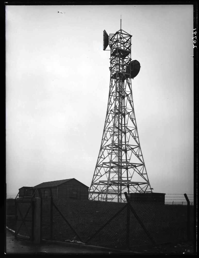
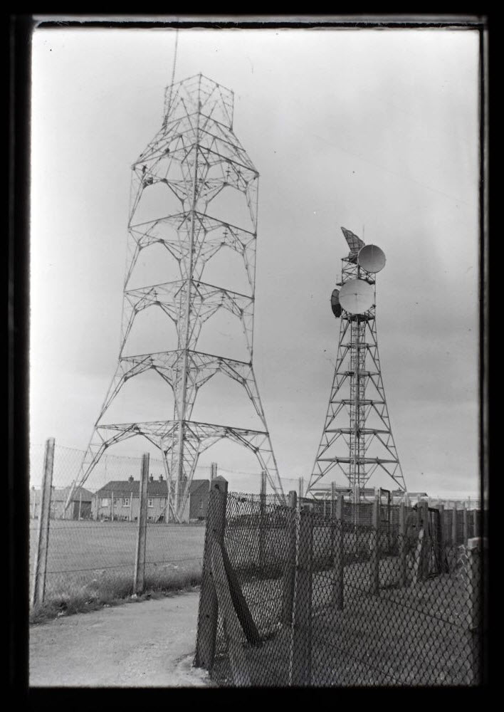
The link used for BBC televison involved "direct pick up" at Craigowl and an SHF link via Bruxie Hill. A full SHF link from Kirk o'Shotts was provided for Grampian Television by autumn 1961 - initially using temporary equipment to bridge the gap between Kirk o'Shotts and Craigowl. The original installation comprised a relatively short tower carrying dishes facing Bruxie Hill and Core Hill, together with a timber building.
The 1959 Network Map shows Granite Hill on an "existing or under construction" route from East Lomond to "Meldrum" with a further route "programmed" to Inverness (no intermediate sites are identified). This route continues as "planned" through to the Isle of Lewis.
The ITA Durris transmitter entered service for Grampian Television on 30 September 1961 and UHF televison services were added from July 1967 onwards, using an SHF link from Granite Hill. PSA Archive photos dated 1962 (not availble on-line) show the completion of a new building of the standard type, with the tower supporting an additional dish facing Bruxie Hill and another towards Durris, together with the two original "BBC" link dishes.
A new "standard tower" was close to completion by the end of 1967. By this stage the "ITA" dish facing Bruxie Hill seems to have been removed but a (small) horn antenna had been added, apparently facing Core Hill. The new tower was provided with a "step" on all four faces and waveguide supports in each corner - however it is unknown whether horn antennas were fitted.
Aberdeen developed as a major centre supporting the oil and gas industry and the Post Office provided off-shore communications using sites at Mormond Hill and Scousburgh in the mid-1970s. The "inland" links would have been routed to Granite Hill (in the case of Scousburgh via Core Hill and a number of new sites).
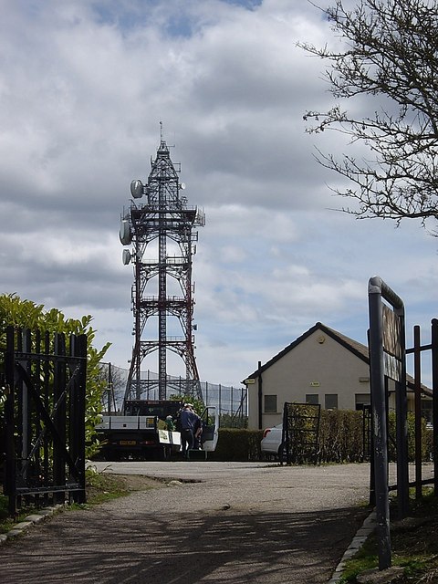
A 1992 photo (not available on-line) shows three large dishes facing Bruxie Hill and/or Durris and at least two each facing Core Hill and Mormond Hill. This suggests either an early clearance or trunk telephony requirements at Aberdeen were somewhat lower than on other routes - or were met via cable (and then fibre) rather than SHF. As of 2017 large dishes still remain facing Core Hill and Mormond Hill but those on other routes had been removed by 2010.
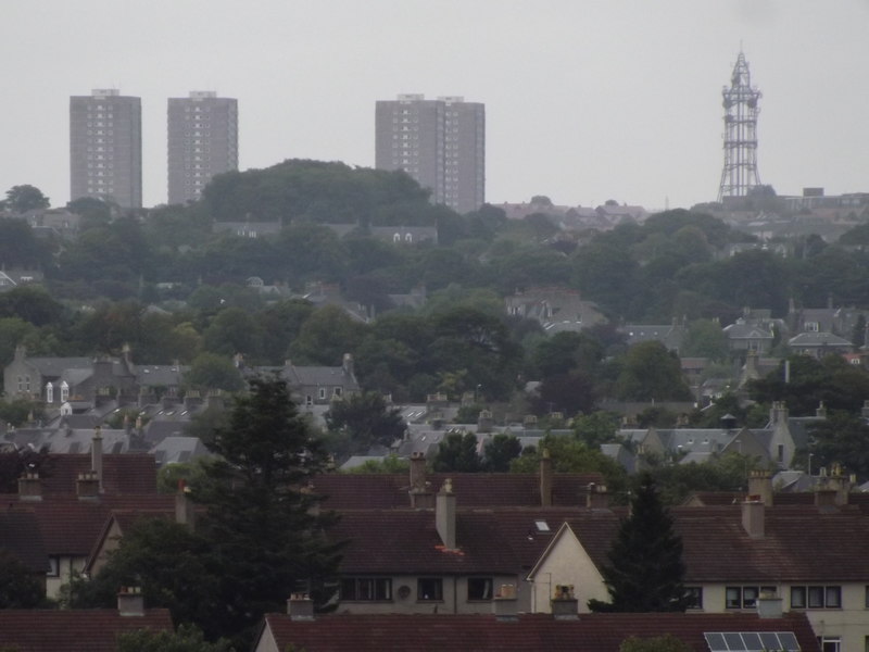
Granite Hill is said to be the highest point in the built-up area of Aberdeen and the Post Office station was adjacent to housing developments when first established (the site itself was formerly allotments). The tower is prominent on the Aberdeen skyline and it's surprising a concrete tower wasn't considered, as at Leeds (Tinshill).
From July 1981 the site was used by local radio station Northsound, using an antenna at the very top of the tower. (This service transferred to Durris in December 1993.)