Fair Isle

Page last updated: 7/1/2026

This page requires updating

The information shown may be incomplete or inaccurate.

Site CodeEstablishedClosedNGRMap LinksGeograph
YFIEHZ211732Google Maps Bing Maps Old OS MapPhotos

Related Routes

History

Fair Isle was a joint development by the Post Office, BBC and IBA. The broadcast organisations were considering ways to provide a suitable feed to the planned television transmitter at Bressay (near Lerwick) and had started to make enquiries about possible link sites on Fair Isle at a time when the Post Office was also planning for an SHF link to Scousburgh.

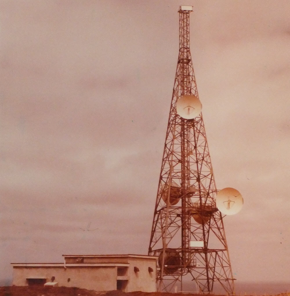
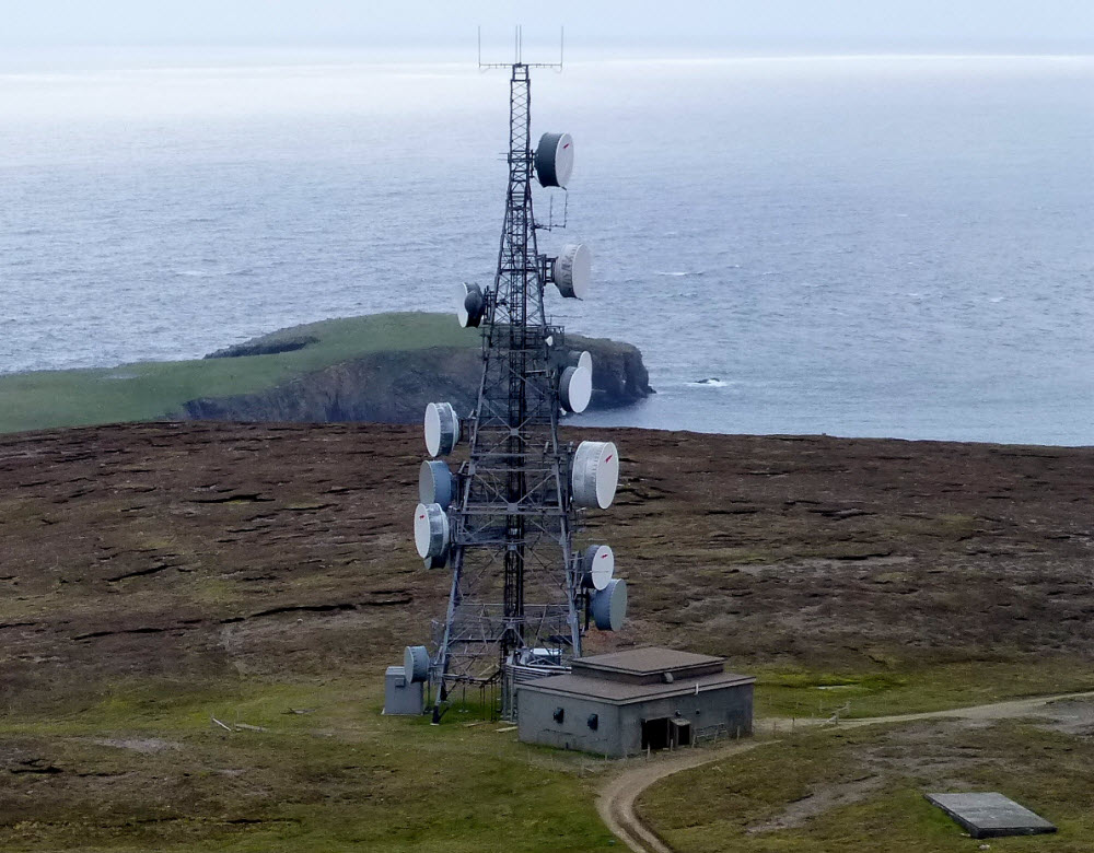
The site features a broadcast-type tower with some modifications to meet the PO requirement and was specified to accept up to fourteen 12 ft dishes, in addition to the broadcasters' equipment which included up to three other dishes. An existing wartime Radar building was used, with a separate generator building about half a mile down the hill.

It is possible the site was operational for the Post Office before the start of television broadcasts late in 1976. It continues to be used, with a new link installed for digital television in April 2009.

Photos

1979

Fair Isle 1979

Copyright BT Heritage [TCB417/E 68711]

Viewed from the south, the dishes face Sanday, with those on the opposite face towards Scousburgh. The rectangular panel at the top of the tower (a "trough" antenna) was for reception of television from Keeylang Hill (Orkney) - there is another just above the level of the building. The television link continued on SHF via a separate dish facing Bressay (Shetland).

2013

Fair Isle 2013

Copyright Rude Health (Geograph)

Viewed from the west. The trough antennas seem to have been removed and the number of dishes has increased significantly with additional operators now sharing the site with BT and Arqiva as successors to the Post Office and BBC/IBA.