History
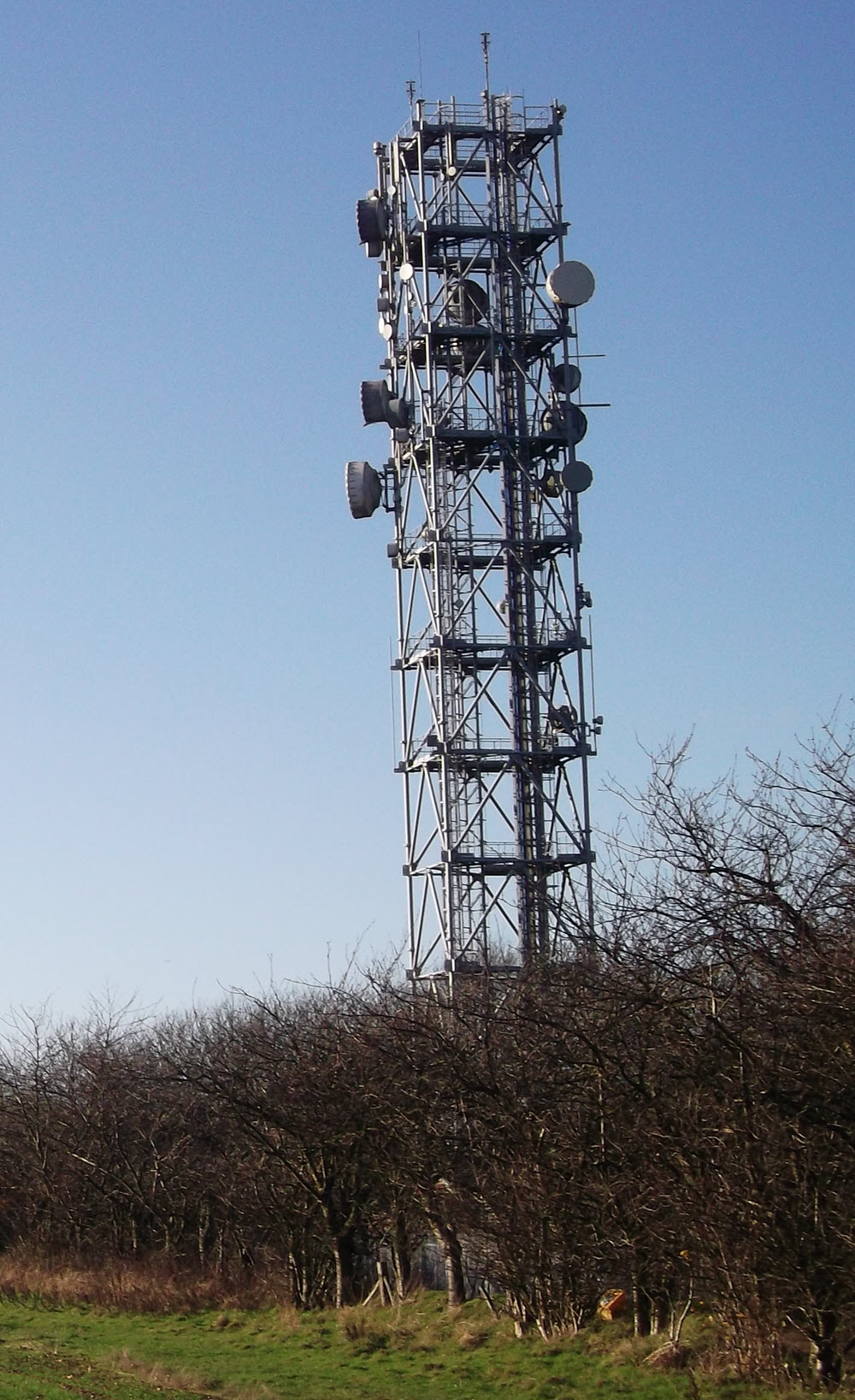
Tatsfield is a 1980s addition to the BT network, with "Type 8A" tower. The building is of the standard pattern for the period however the roof is tiled, possibly as a condition of planning approval. The BT site is adjacent to a gas installation and the planning documents suggest an existing SEGAS tower and buildings would be demolished with service transferred to the new structure. A separate building for site sharers was included. The plans (reference 83/1054 at Tandridge District Council) were approved in December 1983.
An earlier proposal in 1982 (82/432) was refused however the documents accompanying this application include a map showing the new route originating somewhere near Upavon (north of Salisbury) and routed via Dean Hill, the established PO/BT sites at Thornhill (Southampton) and Butser Hill, then continuing east via Goodwood, Truleigh Hill and Tatsfield, finally connecting with the London BT Tower. See route details
The plans approved in 1984 show multiple large dishes facing "London (LTT)" and Truleigh Hill - normally this is indicative of long-term plans rather than the initial installation.