History
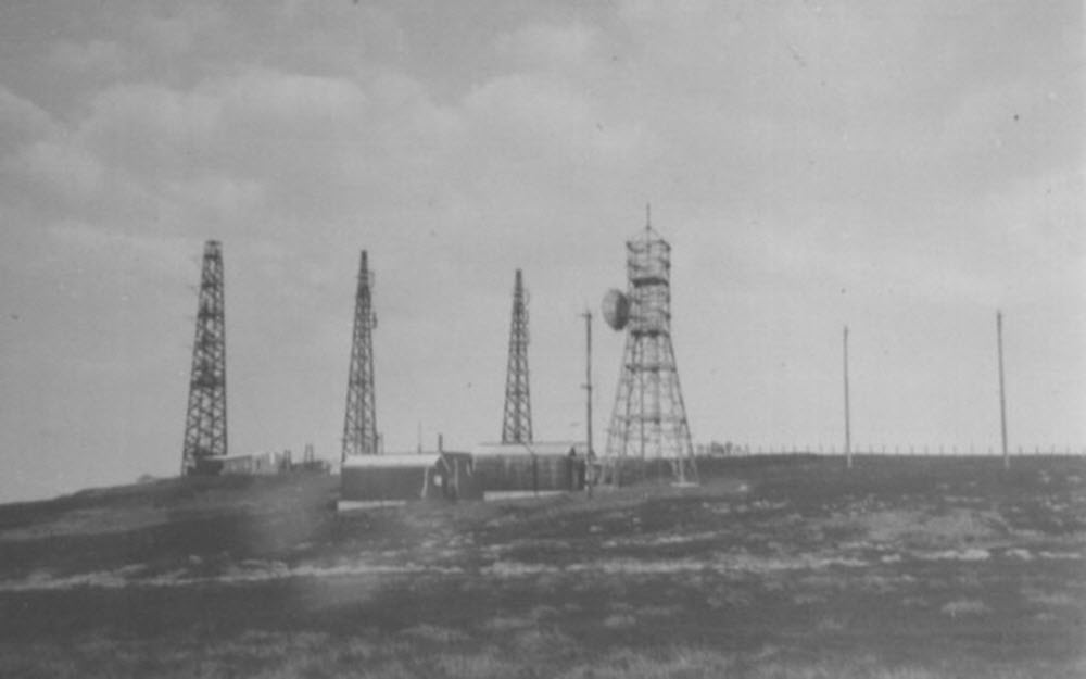
Craigowl is first mentioned in BT Archives as the location of "Direct Pick-up" equipment providing an interim arrangement to feed the BBC television transmitter at Meldrum (Core Hill) near Aberdeen. This entered service in October 1955 but the BBC had used a temporary site at Redmoss (south of Aberdeen) since December 1954 and it is assumed Craigowl was operational to feed the earlier transmitter site. In the 1955 arrangement, transmissions from Kirk o'Shotts were received "off air" and a 2 GHz link provided via Bruxie Hill and Granite Hill. Attention was paid to the potential for inteference from the adjacent "GEE" Radar station. The initial installation used three timber buildings and a relatively short tower (45 ft), with similar arrangements at the other two sites.
Requirements for Grampian Television in 1961 could not be met in the same way - without a link from the wider ITV network the new station would have been able to show only its own programmes or whatever was carried by Scottish Television from Black Hill. This was not acceptable and temporary equipment was installed at Craigowl and the already planned site at East Lomond, allowing a fully-engineered link from the Post Office station at Kirk o'Shotts where an independent feed could be made available. By this stage the permanent building at Craigowl appears to have been in place and a contract for a 4 GHz link had been awarded to STC early in 1960. A revised completion date of December 1964 was later negotiated. Further contracts were awarded to STC for additional channels at 4 GHz during 1964 and 1966, most likely to replace the interim BBC arragement and then for BBC2.
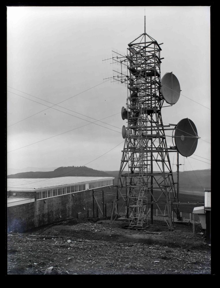
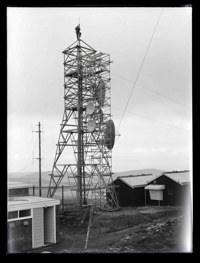
The Post Office Engineer in Chief's Annual Report for 1961 identifies Craigowl as the northern terminal for the "Backbone" route. This was the subject of a 1960 contract with GEC and scheduled for completion in May 1962. Using the 6 GHz band and horn antennas this ran south via East Lomond and re-used many of the sites set up on the east coast for the 1951 televison link from Manchester to Kirk o'Shotts. This link is the reason for the single ("small") horn shown in 1966 and 1971 photos. A once "Secret" map in the National Archives confirms Backbone was connected to Dundee via cable from Craigowl. A 6 GHz link was added from Craigowl to Aberdeen (Granite Hill) in the late 1960s, also as part of a GEC contract, however this was not an extension to Backbone but for general telephony.
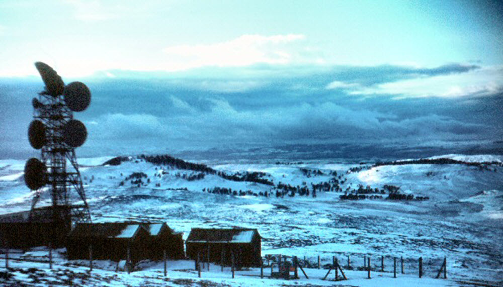
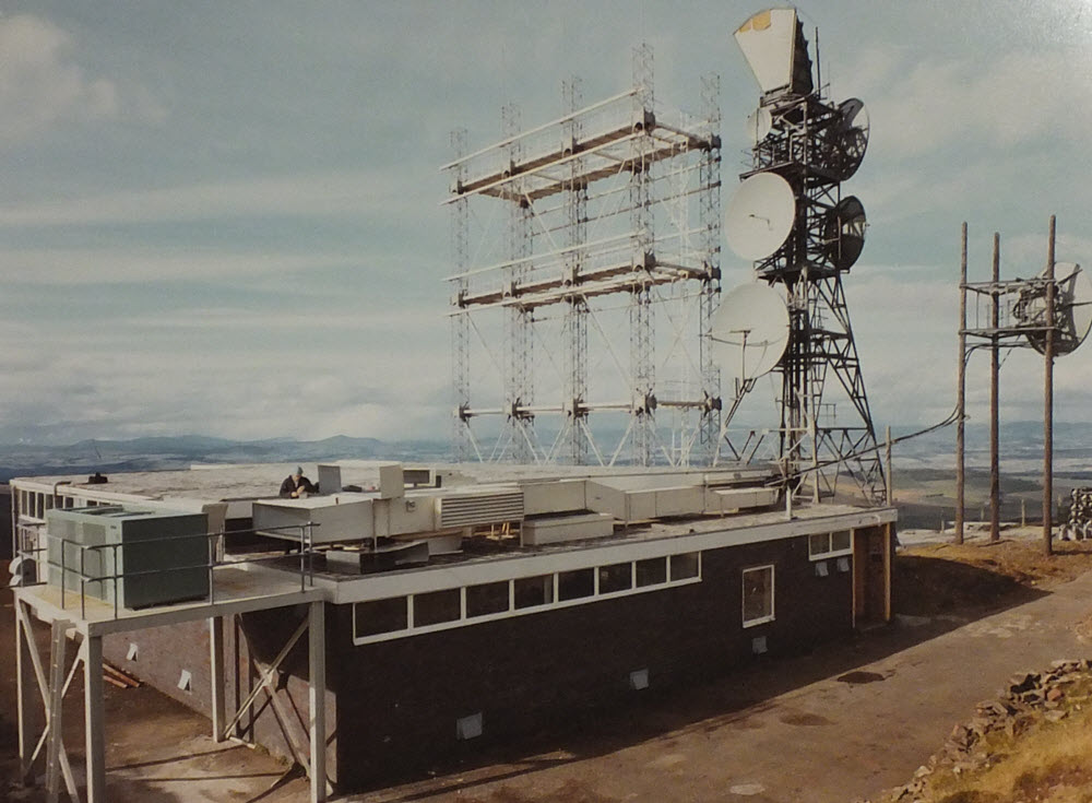
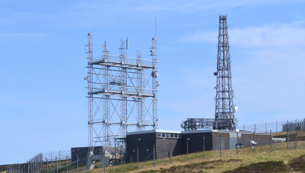
Further exapansion required a structure able to support additional dishes aligned roughly north east and south west and a "Type 5A" tower was installed around 1970, three "modules" across but of relatively low height. A 1968/70 OS plan at 1:2500 scale shows the original square tower and a number of small buildings still in place. It is likely the telephony links migrated to 11 GHz digital systems in the 1980s - more recent photographs suggest the main dishes were removed sometime between 2006 and 2009, leaving the structure virtually empty.
The Angus television transmitter is just over a mile away. A scheme "Craigowl Video Breakout" was considered in the late 1960s for BBC2 "to enable a local TV transmitter to be fed via a teed connection to the existing Glasgow-Aberdeen radio link" however it's unclear whether this was implemented. (BBC documentation from the late 1980s shows the main feed to Angus as off-air reception of Durris, with Black Hill as a reserve. The "teed" option would not have been workable for ITV since the video circuits at Craigowl did not include the output from the Grampian studios.)