History
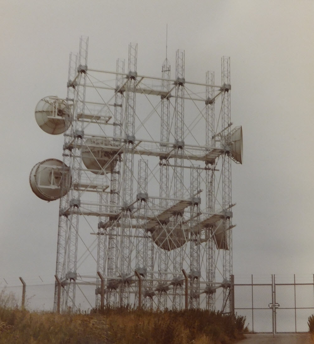
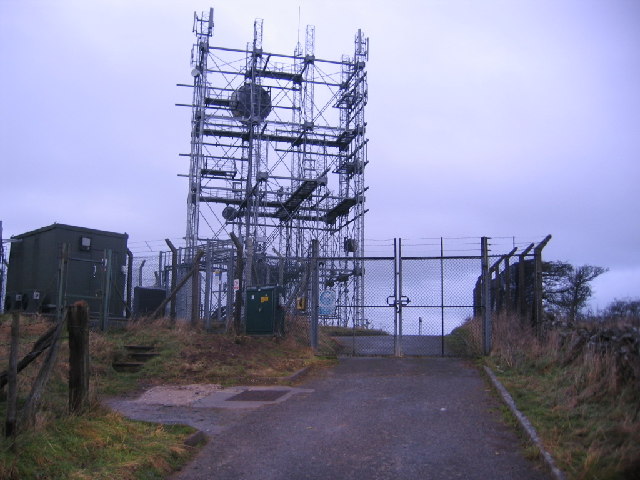
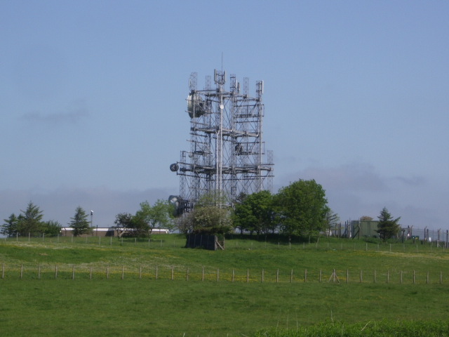
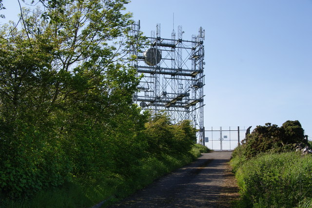
Wharrels Hill is an oddity - it linked Carlisle with Cambret Hill yet a route already existed via Riddingshill, operational since 1959. Wharrels Hill does not appear on OS maps up to 1974 and features a "Type 5A" tower as used in the 1970s. The structure is three modules wide (facing Cambret Hill) with other sections of lower height.
The addition of Wharrels Hill moved the point where the routes to Scotland and Northern Ireland diverged: originally traffic for both routes passed between Carlisle and Riddingshill, potentially limiting their capacity. Once Wharrels Hill was operational the link via Riddingshill could be used exclusively for traffic to Scotland.
The orientation of the structure would not appear to have accommodate large numbers of dishes facing Carlisle. It's likely the "wide" face was intended to allow "diversity" reception on the path across the Solway Firth - a 1976 photo shows four dishes facing Cambret Hill but only two towards Carlisle. By 2005 there were dishes facing Cambret Hill only - possibly cable/fibre routes were interconnected with the SHF site in the final days.